|
Daybal
|
||
|
D'ai'bagh
|
Dhnoa-oo
|
Dsoaanj
|
|
(Koolayal)
|
(Phulgayn)
|
(Tsippin)
|
|
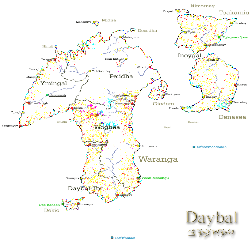
Daybal Data
Explanations
Even smaller settlements or communites ammlungen are visible as coloured dots. Karinnin [cloysters] are red, other places are drawn in yellow. |
Daybal Lenntay Detail Map
1000 km Please click here |
||||||||||||||||||
|
Further Information
On the virtual Daybal Landscapes journey you can visit different areas of Daybal. Please click here to enter. The panoramic Landmark journey provides a 360 degree surround view of the Tower of the Jhem close-by Isoaana. Please click here to enter. (links are not active yet) |
Daybal on the Ayganyan Map
(Please click to open the Ayganyan map) 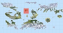 |
||||||||||||||||||
Back to the Ayganyan Atlas